Drone 3D Topography & Contour Mapping
Modern projects demand accurate and efficient land surveying. Our drone-based 3D topography and contour mapping services use the DJI Mavic 3 Pro to capture high-resolution data for precise terrain analysis. Through advanced photogrammetry, we generate Digital Elevation Models (DEM), contour maps, terrain models, and watershed studies that support engineering, construction, mining, environmental, and planning projects.
High-Resolution Digital Elevation Models (DEM)
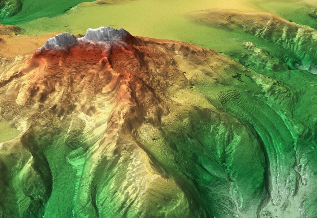
With drone imagery, we create highly accurate Digital Elevation Models that represent ground surface elevation in detail. These DEMs are essential for engineering design, flood analysis, and land-use planning. By replacing traditional survey methods, our drone-based DEMs save time and deliver centimeter-level precision.
Contour Mapping
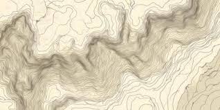
Accurate contour maps are crucial for infrastructure planning, road design, and civil engineering works. Using drone photogrammetry, we generate detailed contour lines that clearly represent elevation changes across large areas. Compared to ground surveys, drone contour mapping covers more land quickly while maintaining higher accuracy.
Terrain Mapping
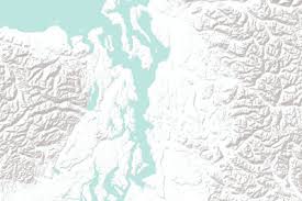
Our terrain mapping services provide 3D visualizations of slopes, landforms, and surface features. These maps are indispensable for construction projects, mining feasibility studies, and environmental monitoring. With 3D terrain data, clients can make informed decisions about site selection, design adjustments, and project planning.
Catchment Studies
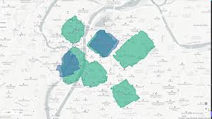
Catchment mapping helps define watershed boundaries, analyze drainage systems, and assess groundwater recharge potential. These studies form a foundation for sustainable water resource planning, flood risk assessments, and hydrological modeling. By combining drone data with hydrological expertise, we deliver reliable results for water management projects.
Stream & Hydrological Studies
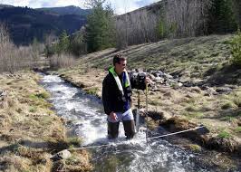
Our drone surveys also focus on stream networks and floodplain behavior. By mapping flow patterns and channel dynamics, we provide insights for erosion control, flood management, and environmental assessments. This approach supports both sustainable development and ecological protection.
Advantages of Drone Surveys
Drone surveys provide a smarter alternative to traditional ground methods. They capture high-resolution data with centimeter accuracy, cover large areas in less time, and reduce field risks. With advanced 3D visualizations, clients gain clearer insights for decision-making, whether for engineering, environmental, or resource management projects.
Why Choose Drone 3D Topography & Contour Mapping?
We combine advanced drone technology with hydrogeological, geological, and engineering expertise. Our team ensures every project delivers accurate, actionable, and cost-effective results. From land development to water management, we provide mapping solutions tailored to your project’s goals.
For related services, explore our Hydrogeological & Hydrological Investigations page. To learn more about drone mapping standards, visit the American Society for Photogrammetry and Remote Sensing (ASPRS).
Frequently Asked Questions (FAQ)
1. What is drone-based topographic mapping?
Drone topographic mapping uses aerial imagery and photogrammetry to create accurate 2D and 3D maps of the land surface. It is faster and more precise than traditional ground surveys.
2. How accurate are drone contour maps?
With modern drones like the DJI Mavic 3 Pro and advanced processing software, contour maps can achieve centimeter-level accuracy, suitable for engineering and planning projects.
3. What are Digital Elevation Models (DEM) used for?
DEMs provide detailed elevation data of the terrain. They are essential for engineering design, flood analysis, land development, mining studies, and environmental monitoring.
4. Can drone surveys replace traditional ground surveys?
In many cases, yes. Drone surveys cover large areas quickly, reduce costs, and improve safety. However, for some highly detailed underground or structural investigations, ground surveys may still be required.
5. How do drone surveys support hydrological studies?
Drone mapping identifies watershed boundaries, drainage patterns, and stream networks. This data supports flood risk assessment, water resource planning, and erosion studies.
6. Are drone surveys environmentally friendly?
Yes. Drones minimize surface disturbance and reduce the need for heavy equipment on-site, making them a safer and more environmentally responsible choice.
